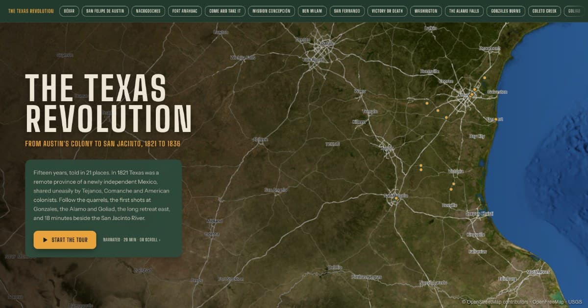
A 21-stop narrated map tour of the Texas Revolution, from Béxar in 1821 to the treaties of Velasco in 1836. It runs about 20 minutes in any browser.
I made a narrated map tour of the Texas Revolution. It starts in 1821, when Mexico won its independence from Spain and Texas became a Mexican province, and ends with the treaties signed in May 1836. That covers the 15 years of colonial settlement and growing tension that led to the war, and then the war itself, across 21 places. The full tour is about 20 minutes long. It is on the Whistlestop website at whistlestop.guide/features/texas-revolution and works in a browser on a phone or a computer.
This is a side project. Most of my time goes into the Whistlestop app, which narrates the history of places as you drive past them. I wanted to see what a Whistlestop tour could look like for someone sitting at home.
Where it came from
My son likes the Alamo, and Texas in general, more than most kids his age. I am not sure where it started. His grandparents live in San Antonio, and his grandfather is a bit of a cowboy: boots, hat, belt, and a bolo tie he saves for fancy occasions. I think that had something to do with it.
He is taking Texas history in school now, and that is where this idea came from. Texas history has a lot of names and dates, and the places are easy to lose track of. Gonzales, Goliad, San Felipe and Harrisburg do not mean much without knowing where they are and how far apart they are.
So I wanted to build a history map that was easy to follow, and that could be listened to without reading along, the same way the app works in the car.
How it works
The page starts with a satellite map of Texas with all 21 stops marked on it. There are two ways to go through it.
The first is to scroll, like any web page. Each stop has a card with a photo, a few paragraphs, and links to the sources. When a new card scrolls into view, the map moves to that place and zooms in, with 3D terrain.
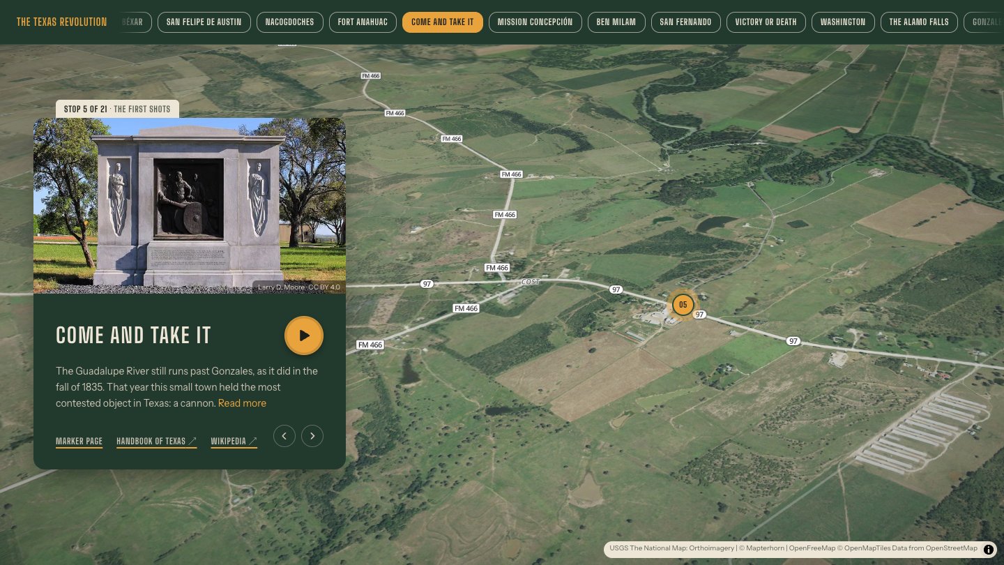
The second is to press Start the tour and listen. A short introduction plays first, then the narration for the first stop. When a stop ends, the page scrolls to the next card and the map moves to the next place by itself. The next stop's narration starts partway through that move, so there is no long gap between stops. It keeps going to the end without anyone touching it. Scrolling to a different stop during the tour moves the narration to that stop, and pressing pause stops it.
There is also a row of place names across the top of the page. Tapping one goes straight to that stop.
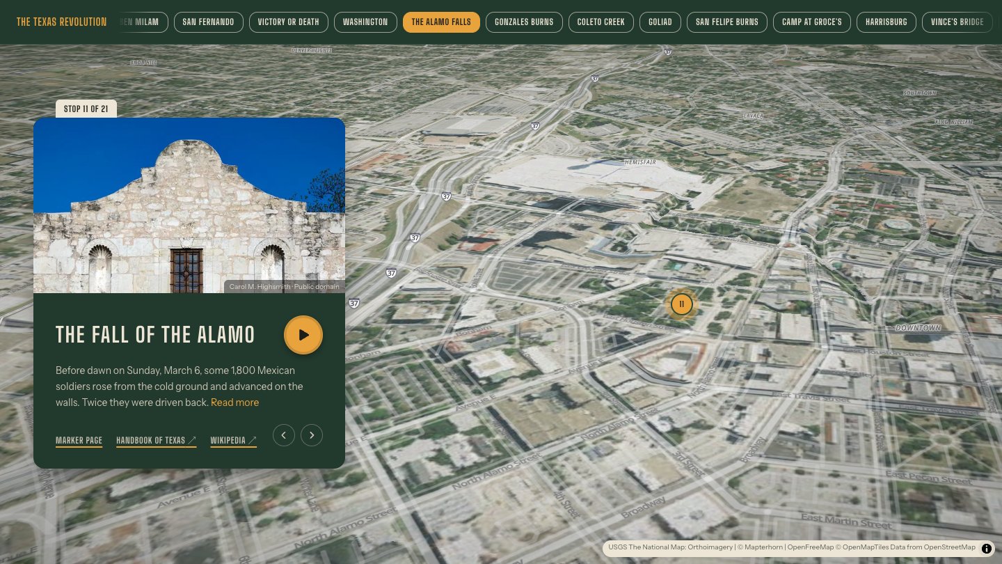
The stops are in the order the events happened, not in driving order, so the map goes back and forth across the state. San Antonio comes up six times. The tour goes from the Alamo to Washington-on-the-Brazos and then back to the Alamo, because the Declaration of Independence was signed on March 2, 1836, while the siege was still going. Seeing both places on the map, one after the other, makes that timing easier to understand.
How the history was checked
Every stop was written from two sources: the Handbook of Texas, published by the Texas State Historical Association, and Wikipedia. Both were read in full for each stop. Each card links to the pages it was written from, and many also link to the historical marker for that site in the Whistlestop places directory.
The two sources do not always agree. When they differ, the text gives a range or says "about" instead of picking one number. The number of Alamo defenders is given as between 180 and 250. For Goliad, the card uses the Handbook's count of 342 men, which was made name by name and is lower than the figure on Wikipedia.
Some well-known stories were left out because neither source confirms them, such as the Which Way Tree, where Houston is said to have chosen between retreating to Louisiana and turning to fight.
Locations come from Wikipedia for the battlefields, from OpenStreetMap for buildings, and from the historical marker where one stands on the site. Three are approximate. The Nacogdoches pin is the 1936 replica of the Old Stone Fort, since the original was torn down in 1902. No source gives an exact spot for the army's camp at Groce's, so that pin is on the Brazos where the Handbook places the plantation. Harrisburg is the old townsite, now part of Houston's East End. The location of Vince's Bridge is also disputed, and the tour follows the Handbook.
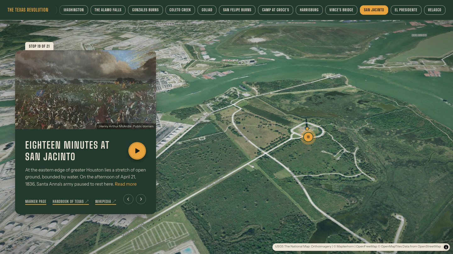
The photos are from Wikimedia Commons, with the photographer and license on each card. The battle and surrender scenes are public domain paintings from the 1800s.
The tour also covers the parts of this history that are harder to tell. The colony at San Felipe de Austin was built partly on the labor of enslaved people. The executions at Goliad have their own stop. And the last card notes that what the new republic did next, to Tejanos, to Native nations, and to enslaved people, is a longer history of its own.
The tour and the app
Most of these places are also in the Whistlestop app, but they are narrated differently there. The app is meant for finding things by chance. It narrates whatever is near the road, so someone driving through Gonzales might hear about the first shot of the war without having looked for it. Because a driver might hear one stop and none of the others, each place in the app is told as a complete story by itself.
The browser tour is the opposite. It covers one subject from start to finish, in order, and each stop picks up where the last one ended.
The 21 stops
- Béxar, a Mexican frontier. San Antonio in 1821, the capital of a province Mexico hoped to fill with settlers.
- San Felipe de Austin. Stephen F. Austin's colonial capital on the Brazos, and the start of large-scale American settlement.
- Nacogdoches and the Fredonian Rebellion. The short-lived 1826 rebellion that made Mexico doubt its American colonists.
- Fort Anahuac. The 1830 ban on immigration from the United States, and the fort where William Barret Travis was jailed in 1832.
- Come and Take It. Gonzales, October 1835, where settlers refused to hand over a cannon and fired the first shots of the war.
- Mission Concepción. A foggy morning outside San Antonio where about 90 Texians defeated a Mexican force of roughly 275.
- Who will go with old Ben Milam? The December 1835 attack that took San Antonio and ended with the surrender of Gen. Cos.
- The red flag over San Fernando. The church tower where Mexican troops raised a red flag as the siege of the Alamo began.
- Victory or Death. Travis's letter from the Alamo, written on February 24, 1836.
- Washington-on-the-Brazos. Delegates declare independence on March 2, while the Alamo is still under siege.
- The fall of the Alamo. The attack before dawn on March 6.
- Gonzales burns. Sam Houston hears that the Alamo has fallen, and the army and the town's families flee east in what became known as the Runaway Scrape.
- Coleto Creek. James Fannin's men are caught on open prairie and surrender.
- Palm Sunday at La Bahía. The execution of Fannin's men at Goliad on March 27.
- San Felipe burns. The town is burned on March 30 after a false report that the Mexican army was near.
- Camp at Groce's. Two weeks of rain and drilling on the Brazos, where the army receives the two cannon known as the Twin Sisters.
- The ashes of Harrisburg. Santa Anna burns the town, and the Texian army turns to go after him.
- Vince's Bridge. Houston's scout destroys the bridge behind Santa Anna's reinforcements.
- Eighteen minutes at San Jacinto. The battle on April 21 that decided the war.
- El Presidente. Santa Anna is found hiding in the grass the next day, dressed as a common soldier.
- Independence at Velasco. The two treaties signed on May 14, 1836, and the beginning of the Republic of Texas.
Where it ends
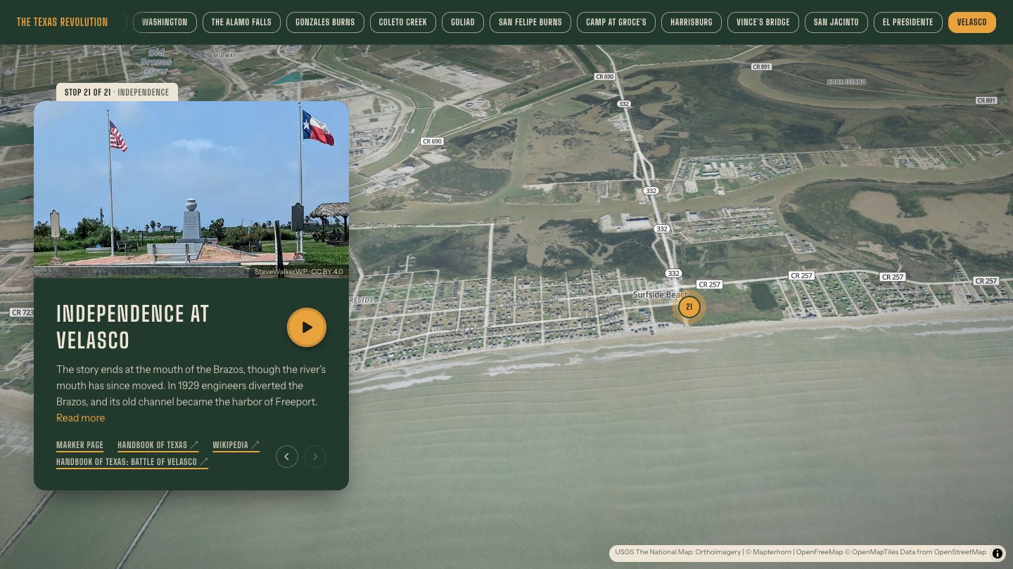
The tour ends on the coast at Velasco, where Santa Anna and President David Burnet signed the treaties on May 14, 1836. Mexico never honored them, but its army had gone south of the Rio Grande and did not return to stay. That September, Texans elected Sam Houston president of the new republic.
This was a test of an idea: one subject, told in order, in the places where it happened, that you can read like an article or leave playing in the background. It worked well enough that I plan to make more of these, each one built the same way around a single subject.
Filed under
Hear it from the road
Whistlestop tells you these stories automatically as you pass them. No searching, no tapping, nothing to ask.